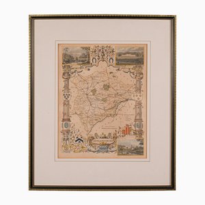
Antique English Rutlandshire County Map, 1860s
SEK 5,789
You are now following English Charts at Pamono. You can manage alerts in your account settings.
You have unfollowed English Charts at Pamono.
Antique English Rutlandshire County Map, 1860s
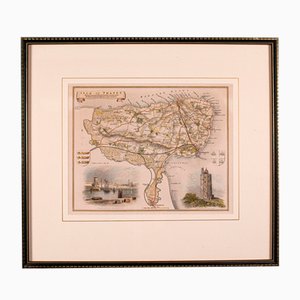
Antique English Isle of Thanet Lithography Map
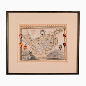
Antique Lithography Map of Cheshire, England
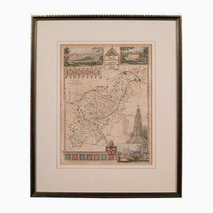
Antique Framed Lithographic Map of Northamptonshire, England, 1860
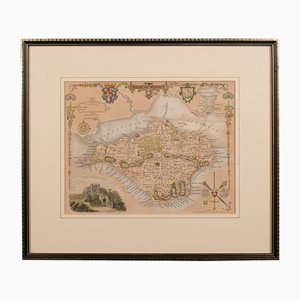
Antique English Lithography Map of Isle of Wight
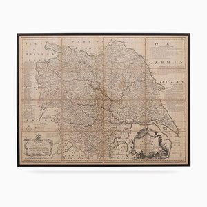
18th Century Map of the County of York by Emanuel Bowen, 1740s
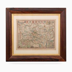
17th Century Map of Kent with Her Cities & Earles Described by John Speed, 1670s
Trending