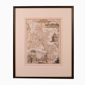
19th Century English Oxfordshire Country Map
SEK 5,714
You are now following Charts. You can manage alerts in your account settings.
You have unfollowed Charts.
19th Century English Oxfordshire Country Map
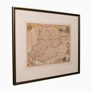
Antique English Victorian County Map
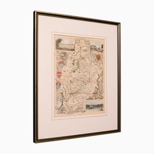
Antique English Framed Nottinghamshire Map
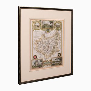
Antique English Framed Leicestershire Map
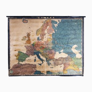
Large Early 20th Century School Wall Map Europe by Dr. Haack for Perthes, Gotha, 1890s
Trending